🎉 Up to 70% Off Selected ItemsShop Sale

Topographical Map of Lewis and Clarke County, Montana, 1890
This beautiful antique map reproduction is printed on heavy acid-free stock with fade proof inks and is excellent for framing.
Copyright 1890
Size: 38" × 47"
$13.98
Original: $39.95
-65%Topographical Map of Lewis and Clarke County, Montana, 1890—
$39.95
$13.98More Images


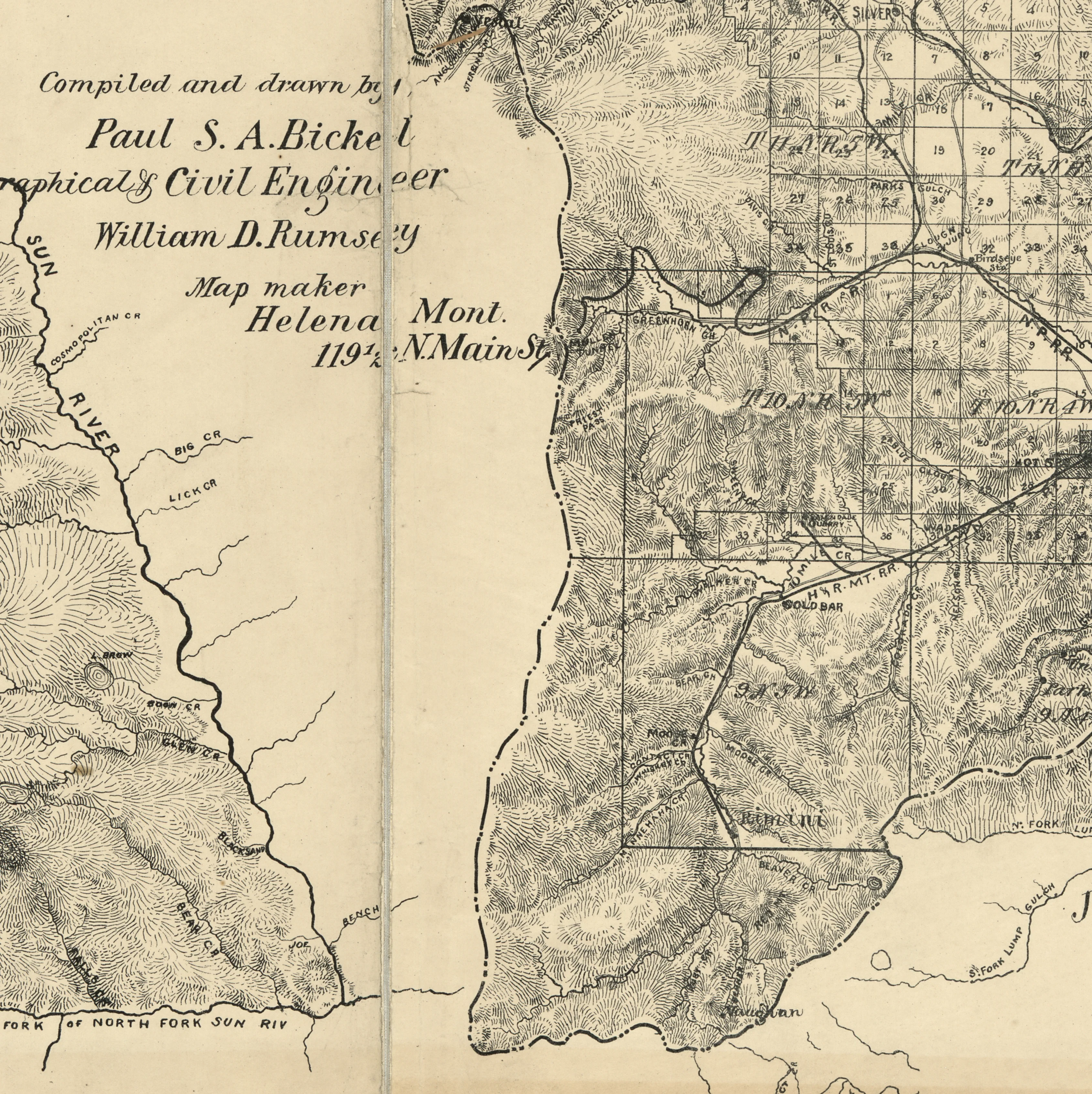
Topographical Map of Lewis and Clarke County, Montana, 1890
This beautiful antique map reproduction is printed on heavy acid-free stock with fade proof inks and is excellent for framing.
Copyright 1890
Size: 38" × 47"
Product Information
Product Information
Shipping & Returns
Shipping & Returns
Description
This beautiful antique map reproduction is printed on heavy acid-free stock with fade proof inks and is excellent for framing.
Copyright 1890
Size: 38" × 47"