Territory and Military Department of New Mexico
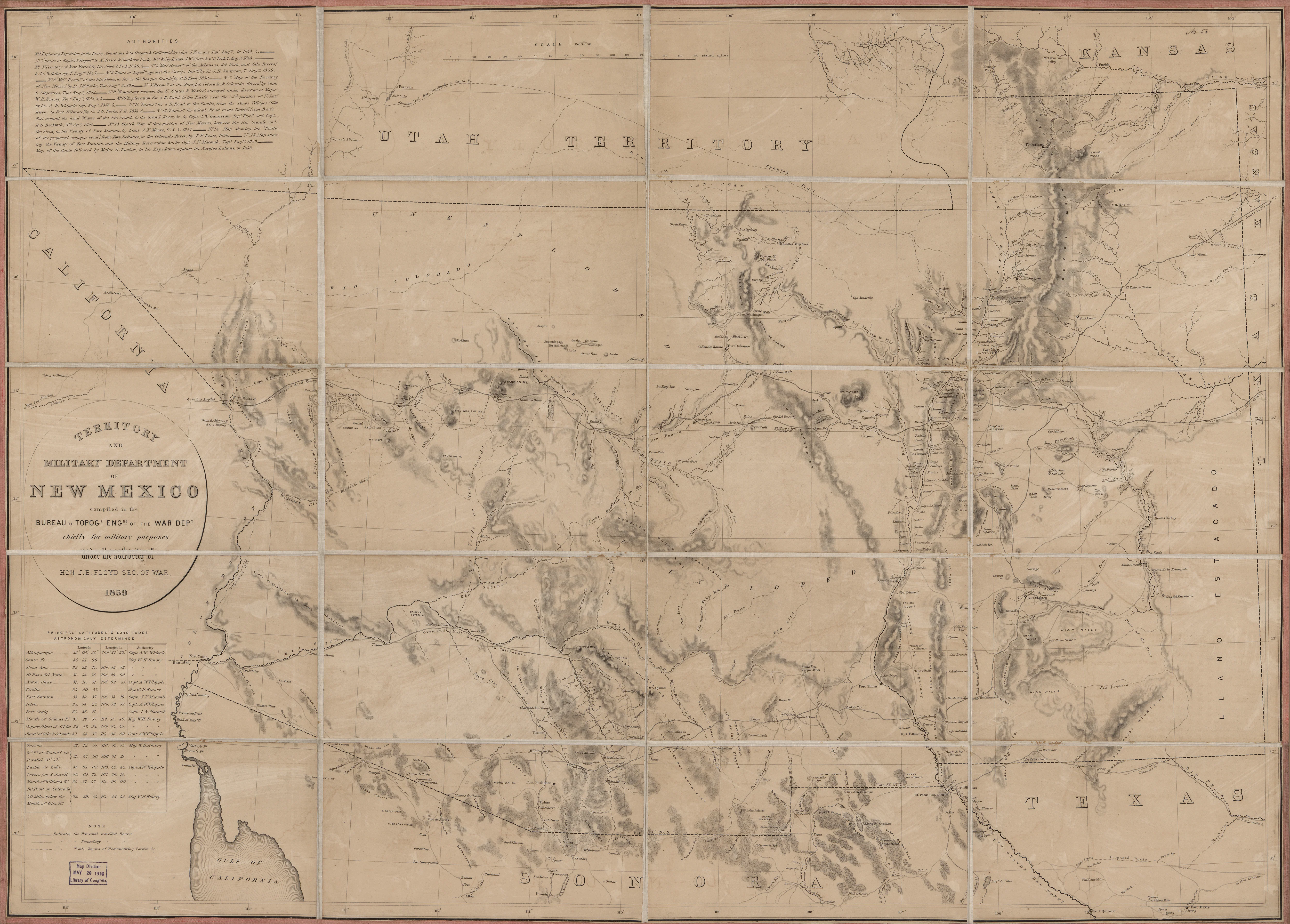
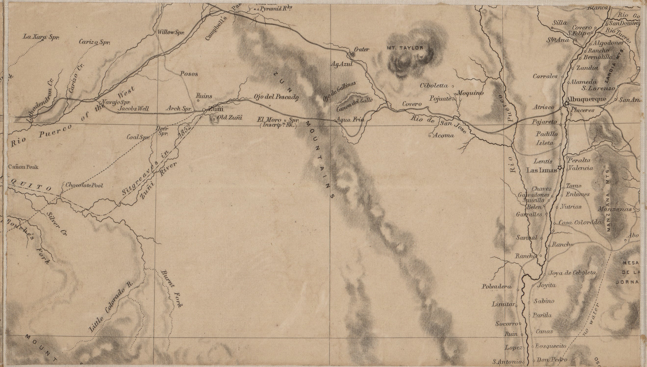
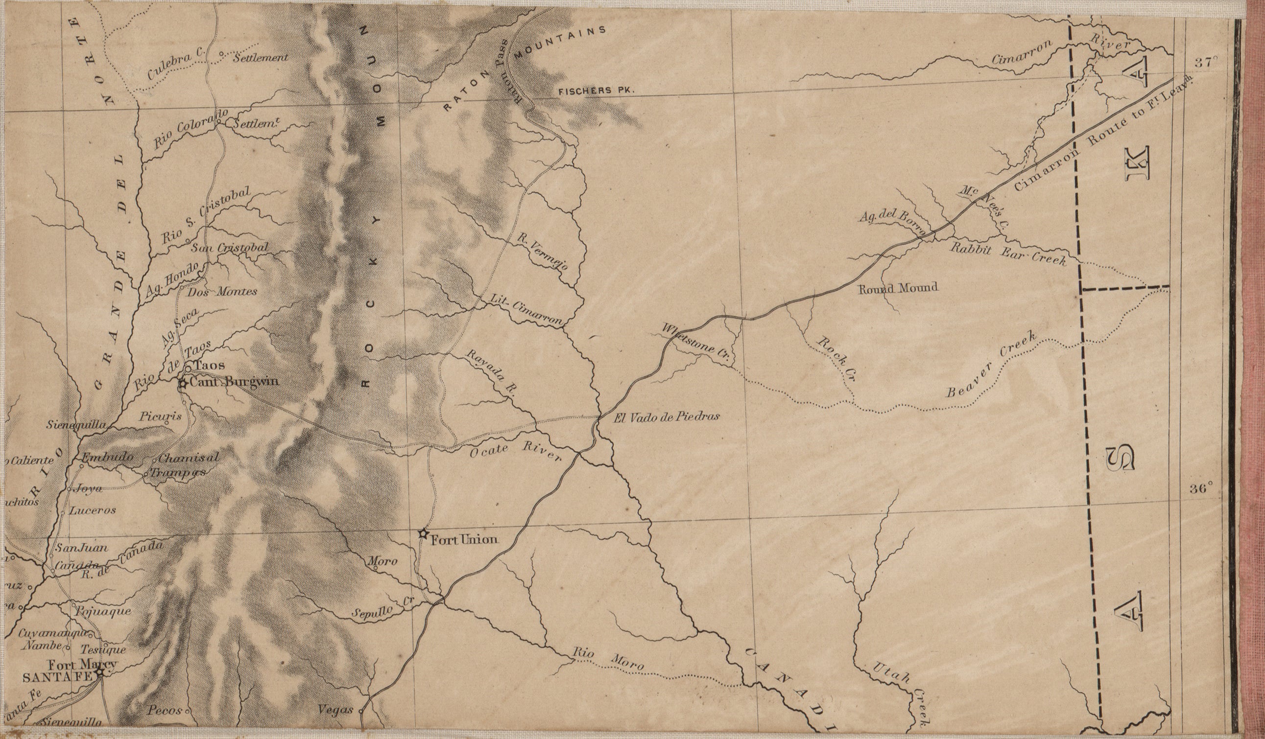
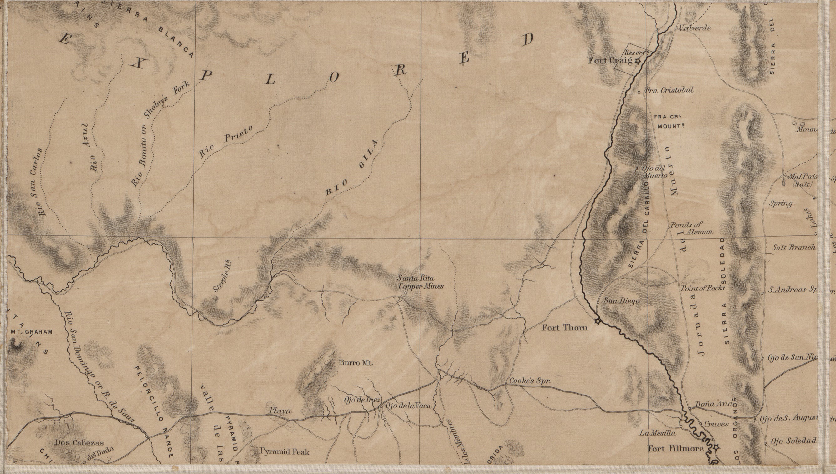
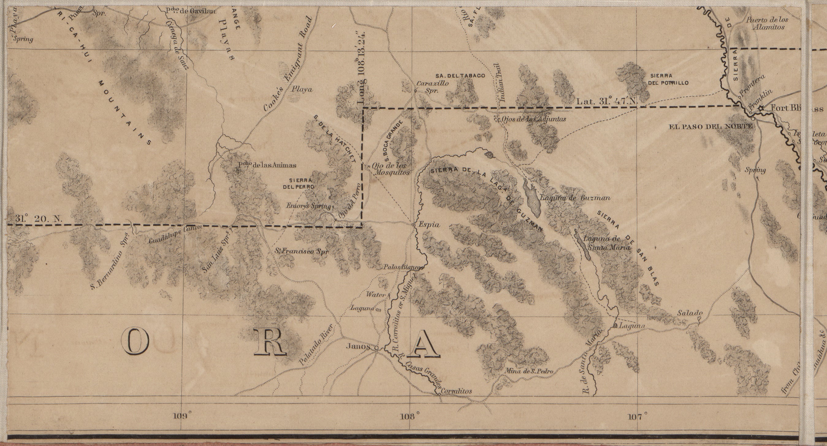
This historic map reproduction is printed on heavy acid-free stock with fade proof inks and is excellent for framing. The map covers territory between Utah and Mexico, from the Colorado River to the Liano Estacado; shows trails and wagon roads, forts, expeditions and explorations of the Southwest; names places and known rivers and mountain ranges. Map relief is shown with shading.
Size: 35" × 25"
Copyright United States. Army. Corps of Topographical Engineers, cartographer, Dougal, William H., 1822-1895, engraver
Original: $39.95
-65%$39.95
$13.98More Images

Territory and Military Department of New Mexico
This historic map reproduction is printed on heavy acid-free stock with fade proof inks and is excellent for framing. The map covers territory between Utah and Mexico, from the Colorado River to the Liano Estacado; shows trails and wagon roads, forts, expeditions and explorations of the Southwest; names places and known rivers and mountain ranges. Map relief is shown with shading.
Size: 35" × 25"
Copyright United States. Army. Corps of Topographical Engineers, cartographer, Dougal, William H., 1822-1895, engraver
Product Information
Product Information
Shipping & Returns
Shipping & Returns
Description
This historic map reproduction is printed on heavy acid-free stock with fade proof inks and is excellent for framing. The map covers territory between Utah and Mexico, from the Colorado River to the Liano Estacado; shows trails and wagon roads, forts, expeditions and explorations of the Southwest; names places and known rivers and mountain ranges. Map relief is shown with shading.
Size: 35" × 25"
Copyright United States. Army. Corps of Topographical Engineers, cartographer, Dougal, William H., 1822-1895, engraver