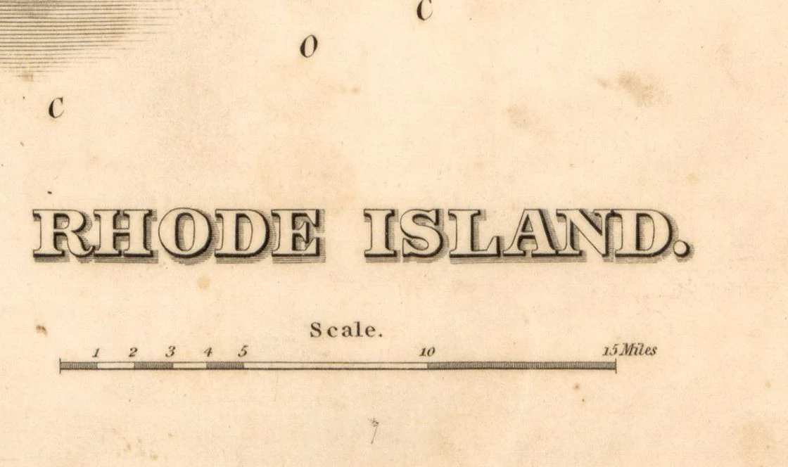
Map of the State of Rhode Island Showing Railroads, 1875
Map of the State of Rhode Island Showing Railroads, 1875
Rand McNally
This beautiful reproduction is printed on heavy, acid-free stock using HP 100-year ink and is excellent for framing.
This map comes rolled and shipped in a sturdy cardboard tube.
Size: 18" x 24"
More Images


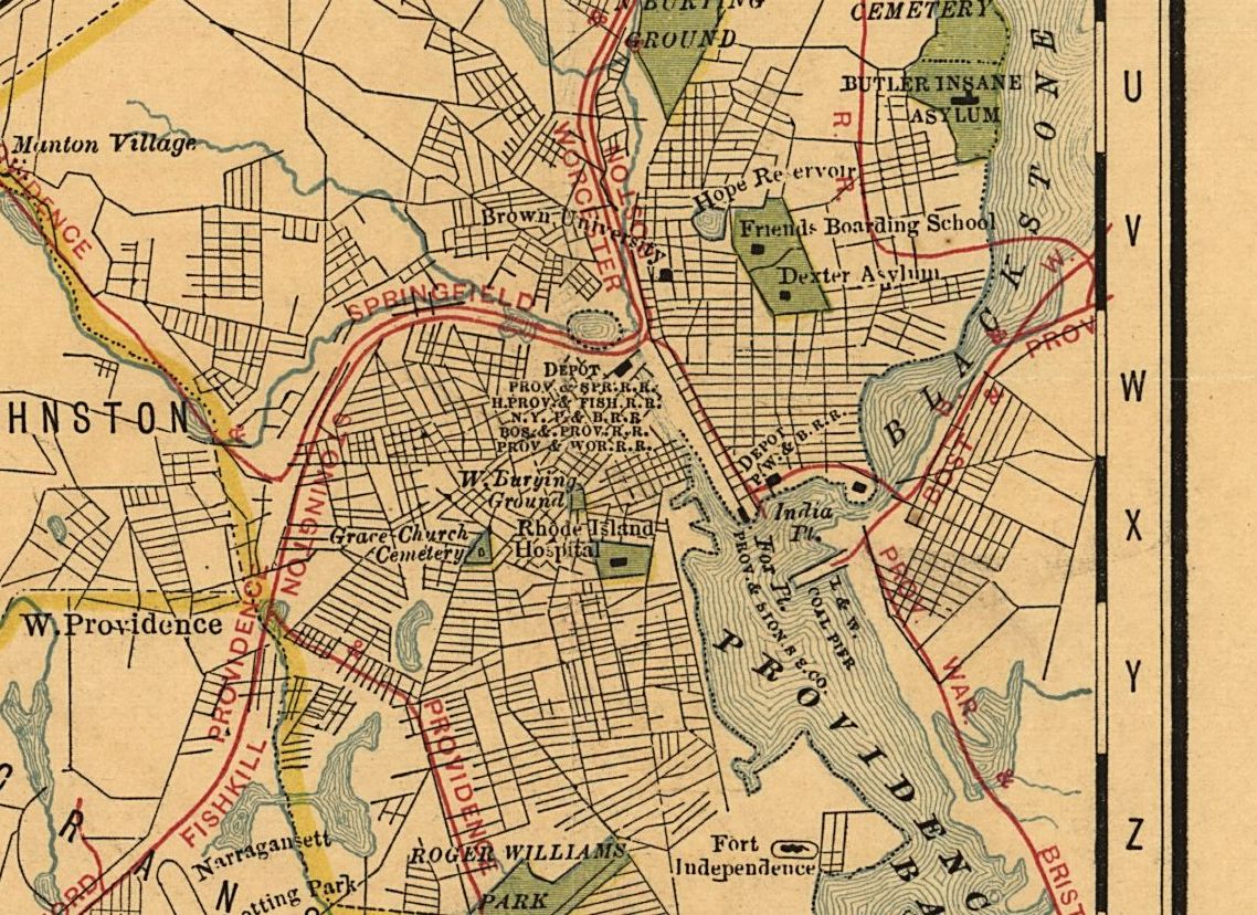
Map of the State of Rhode Island Showing Railroads, 1875
Map of the State of Rhode Island Showing Railroads, 1875
Rand McNally
This beautiful reproduction is printed on heavy, acid-free stock using HP 100-year ink and is excellent for framing.
This map comes rolled and shipped in a sturdy cardboard tube.
Size: 18" x 24"
Product Information
Product Information
Shipping & Returns
Shipping & Returns
Description
Map of the State of Rhode Island Showing Railroads, 1875
Rand McNally
This beautiful reproduction is printed on heavy, acid-free stock using HP 100-year ink and is excellent for framing.
This map comes rolled and shipped in a sturdy cardboard tube.
Size: 18" x 24"